File:1911 Sanborn block 86.png
Jump to navigation
Jump to search

Size of this preview: 763 × 599 pixels. Other resolution: 839 × 659 pixels.
Original file (839 × 659 pixels, file size: 858 KB, MIME type: image/png)
File history
Click on a date/time to view the file as it appeared at that time.
| Date/Time | Thumbnail | Dimensions | User | Comment | |
|---|---|---|---|---|---|
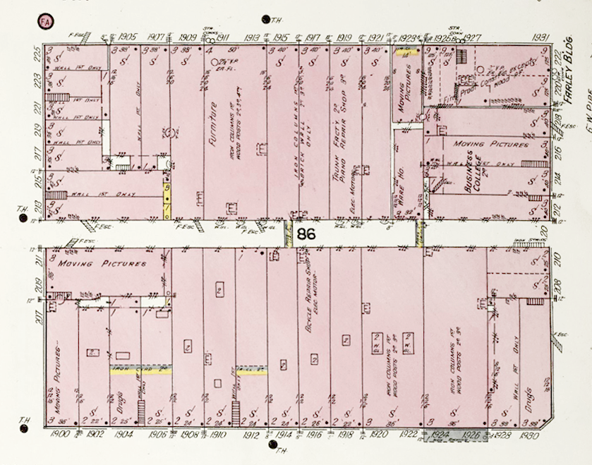
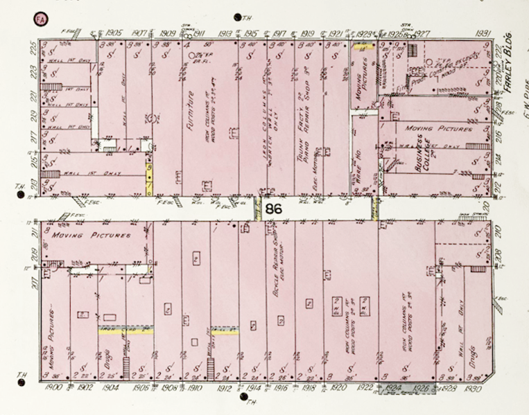
| current | 12:28, 24 May 2020 | | 839 × 659 (858 KB) | Dystopos (talk | contribs) | Detail of 1911 Sanborn Map Company map showing the layout of the Block 86 ([https://www.loc.gov/resource/g3974bm.g3974bm_g00015191101/?sp=10&r=0.518,0.226,0.483,0.373,0 link]) {{PD}} |
You cannot overwrite this file.
File usage
The following page uses this file: