File:Etowah County location map.png
Jump to navigation
Jump to search

No higher resolution available.
Etowah_County_location_map.png (375 × 573 pixels, file size: 72 KB, MIME type: image/png)
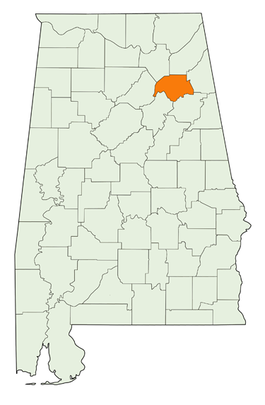
Map of Alabama highlighting Etowah County.
Base map created by the Cartographic Research Laboratory at the College of Arts and Sciences, University of Alabama and ©2010 University of Alabama
File history
Click on a date/time to view the file as it appeared at that time.
| Date/Time | Thumbnail | Dimensions | User | Comment | |
|---|---|---|---|---|---|
| current | 20:59, 24 March 2010 | | 375 × 573 (72 KB) | Dystopos (talk | contribs) | Map of Alabama highlighting Etowah County. Base map created by the Cartographic Research Laboratory at the College of Arts and Sciences, University of Alabama and ©2010 University of Alabama Category:County locator maps |
You cannot overwrite this file.
File usage
There are no pages that use this file.