File:Wasaasa map.jpg
Jump to navigation
Jump to search

No higher resolution available.
Wasaasa_map.jpg (744 × 529 pixels, file size: 75 KB, MIME type: image/jpeg)
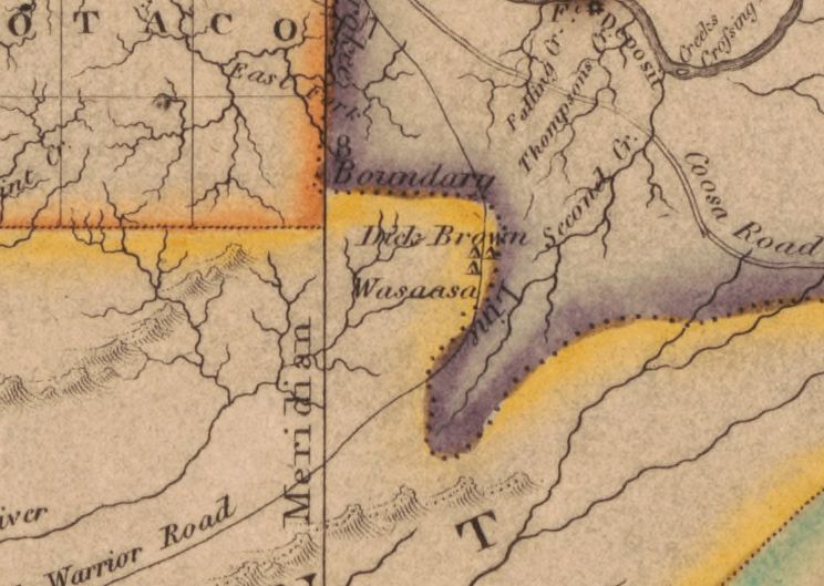
Detail from a "Map of Alabama constructed from the surveys in the General Land Office and other documents. Improved to 1819," by John Melish, published in Philadelphia in 1819. From the Library of Congress (link)
File history
Click on a date/time to view the file as it appeared at that time.
| Date/Time | Thumbnail | Dimensions | User | Comment | |
|---|---|---|---|---|---|
| current | 12:49, 22 August 2019 | | 744 × 529 (75 KB) | Dystopos (talk | contribs) | Detail from a "Map of Alabama constructed from the surveys in the General Land Office and other documents. Improved to 1819," by John Melish, published in Philadelphia in 1819. From the Library of Congress ([https://lccn.loc.gov/gm71005414 link]) |
You cannot overwrite this file.
File usage
The following 2 pages use this file: