File:1891 Roden Block map.png
Jump to navigation
Jump to search

No higher resolution available.
1891_Roden_Block_map.png (461 × 521 pixels, file size: 397 KB, MIME type: image/png)
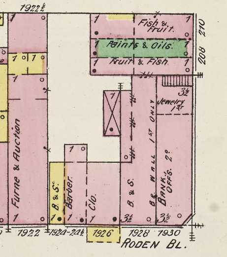
Detail of 1891 Sanborn Map Company map showing the layout of the Roden Block (link)
| Public Domain | |
| This work was published in the United States before 1928 and is now presumed to be in the public domain. | |
File history
Click on a date/time to view the file as it appeared at that time.
| Date/Time | Thumbnail | Dimensions | User | Comment | |
|---|---|---|---|---|---|
| current | 15:14, 15 May 2019 | | 461 × 521 (397 KB) | Dystopos (talk | contribs) | Detail of 1891 Sanborn Map Company map showing the layout of the Roden Block ([http://www.loc.gov/resource/g3974bm.g3974bm_g000151891/?sp=7&r=0.246,0.638,0.306,0.216,0 link]) {{PD}} |
You cannot overwrite this file.
File usage
The following page uses this file: