File:1910 Red Gap USGS photo.jpg
Jump to navigation
Jump to search


Size of this preview: 785 × 600 pixels.
Original file (800 × 611 pixels, file size: 127 KB, MIME type: image/jpeg)
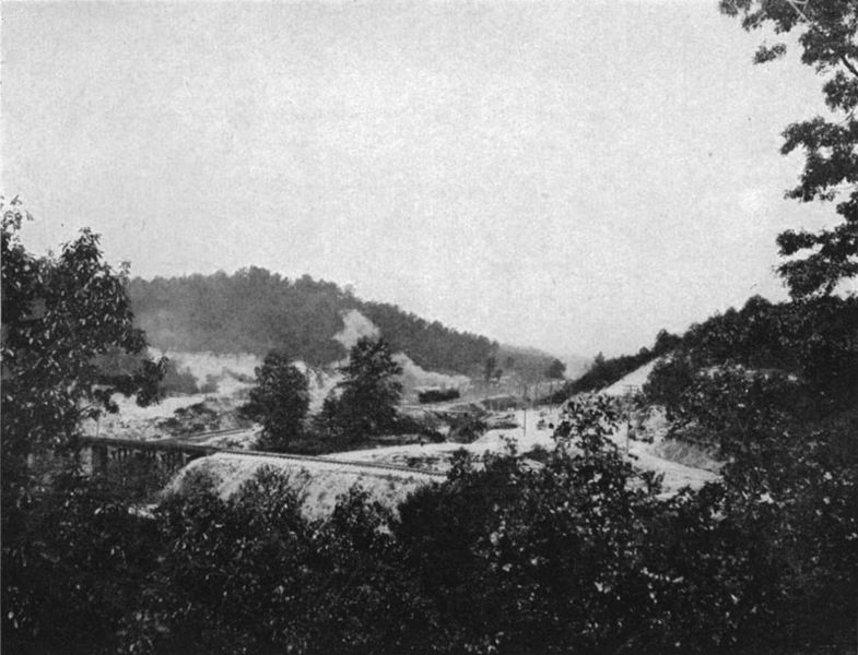
"Red Gap at Gate City, Ala. looking eastward toward Birmingham", plate from Burchard, Ernest F & Charles Butts (1910), Iron Ores, Fuels and Fluxes of the Birmingham District, Alabama. United States Geological Survey, Bulletin 400, Washington D.C.: Government Printing Office
| This work is in the public domain | |
| This work was created by the United States Government and is in the public domain. | |
File history
Click on a date/time to view the file as it appeared at that time.
| Date/Time | Thumbnail | Dimensions | User | Comment | |
|---|---|---|---|---|---|
| current | 11:32, 11 August 2018 | | 800 × 611 (127 KB) | Dystopos (talk | contribs) | "Red Gap at Gate City, Ala. looking eastward toward Birmingham", plate from Burchard, Ernest F & Charles Butts (1910), ''Iron Ores, Fuels and Fluxes of the Birmingham District, Alabama.'' United States Geological Survey, Bulletin 400, Washington D.C.: ... |
You cannot overwrite this file.
File usage
The following page uses this file: