File:1959 Roosevelt-Cairo Village USGS map.png
Jump to navigation
Jump to search

No higher resolution available.
1959_Roosevelt-Cairo_Village_USGS_map.png (641 × 587 pixels, file size: 830 KB, MIME type: image/png)
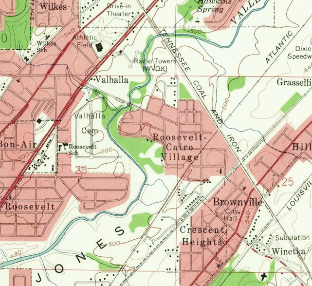
Portion of the 1959 U.S. Geological Service's Bessemer quadrangle map showing Roosevelt-Cairo Village.
| This work is in the public domain | |
| This work was created by the United States Government and is in the public domain. | |
File history
Click on a date/time to view the file as it appeared at that time.
| Date/Time | Thumbnail | Dimensions | User | Comment | |
|---|---|---|---|---|---|
| current | 14:45, 14 January 2023 | | 641 × 587 (830 KB) | Dystopos (talk | contribs) | Portion of the 1959 U.S. Geological Service's Bessemer quadrangle map showing Roosevelt-Cairo Village. {{PD-Gov}} |
You cannot overwrite this file.
File usage
The following page uses this file: