File:1983 Avondale cave map.jpg
Jump to navigation
Jump to search

Size of this preview: 800 × 542 pixels. Other resolution: 1,600 × 1,083 pixels.
Original file (1,600 × 1,083 pixels, file size: 226 KB, MIME type: image/jpeg)
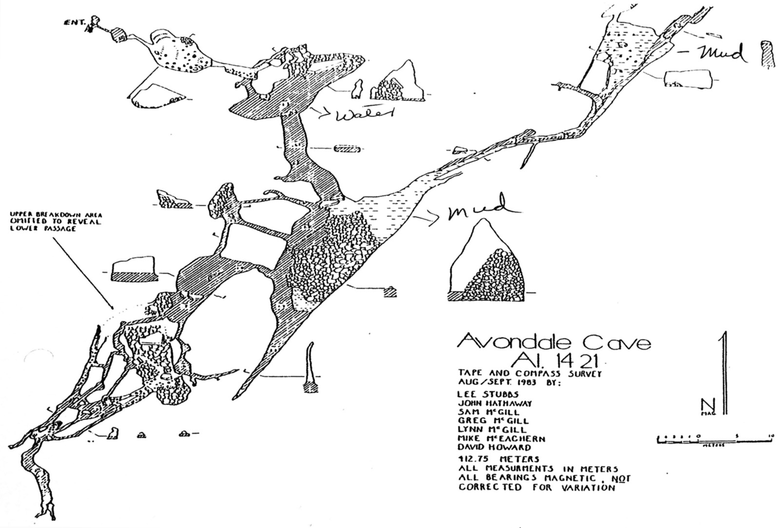
1983 "tape and compass survey" of Avondale cave, compiled by Lee Stubbs, John Hathaway, Sam McGill, Greg McGill, Lynn McGill, Mike McEachern and David Howard.
| Fair Use media | |
| This work is subject to copyright and/or trade mark protection. It is used here without express permission under the legal doctrine of Fair Use. Rights to the work remain the sole property of the creator. See Bhamwiki:Copyrights for further information. | |
File history
Click on a date/time to view the file as it appeared at that time.
| Date/Time | Thumbnail | Dimensions | User | Comment | |
|---|---|---|---|---|---|
| current | 08:16, 4 July 2016 | | 1,600 × 1,083 (226 KB) | Dystopos (talk | contribs) | 1983 "tape and compass survey" of Avondale cave, compiled by Lee Stubbs, John Hathaway, Sam McGill, Greg McGill, Lynn McGill, Mike McEachern and David Howard. {{Fair Use}} |
You cannot overwrite this file.
File usage
The following 2 pages use this file: