File:Cane Creek Branch railroad map, 1908 - edited.jpg
Jump to navigation
Jump to search

Size of this preview: 800 × 390 pixels. Other resolution: 1,876 × 914 pixels.
Original file (1,876 × 914 pixels, file size: 2 MB, MIME type: image/jpeg)
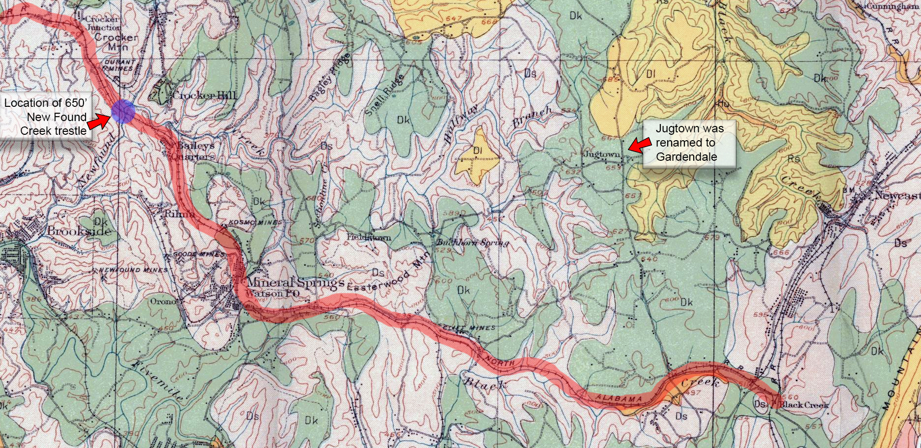
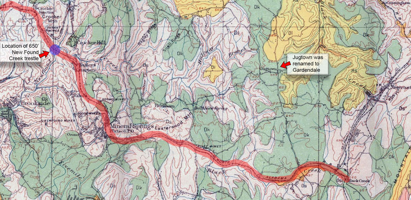
A portion of a 1908 map that shows the route of the Cane Creek Branch rail line through Fultondale, Gardendale, and Brookside. Map is from the http://alabamamaps.ua.edu/historicalmaps/ archive.
File history
Click on a date/time to view the file as it appeared at that time.
| Date/Time | Thumbnail | Dimensions | User | Comment | |
|---|---|---|---|---|---|
| current | 21:12, 21 July 2019 | | 1,876 × 914 (2 MB) | Robert Matthews (talk | contribs) | A portion of a 1908 map that shows the route of the Cane Creek Branch rail line through Fultondale, Gardendale, and Brookside. Map is from the http://alabamamaps.ua.edu/historicalmaps/ archive. |
You cannot overwrite this file.
File usage
The following page uses this file: