File:10th Street South 1959.png
Jump to navigation
Jump to search
Size of this preview: 427 × 599 pixels. Other resolution: 476 × 668 pixels.
Original file (476 × 668 pixels, file size: 676 KB, MIME type: image/png)
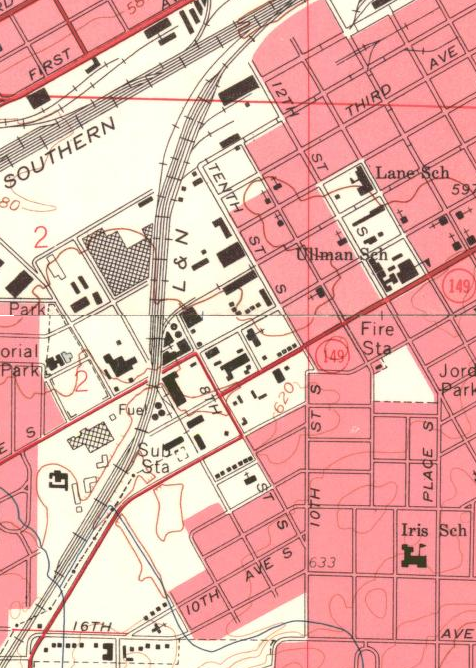
Map of 10th Street South published in 1959.
| This work is in the public domain | |
| This work was created by the United States Government and is in the public domain. | |
Map section courtesy of the U.S. Geological Survey.
File history
Click on a date/time to view the file as it appeared at that time.
| Date/Time | Thumbnail | Dimensions | User | Comment | |
|---|---|---|---|---|---|
| current | 12:49, 19 February 2014 | | 476 × 668 (676 KB) | Lkseitz (talk | contribs) | Map of 10th Street South published in 1959. {{PD-Gov}}{{USGS}} |
You cannot overwrite this file.
File usage
The following page uses this file: