File:Lake View locator map.png
Jump to navigation
Jump to search
No higher resolution available.
Lake_View_locator_map.png (640 × 427 pixels, file size: 70 KB, MIME type: image/png)
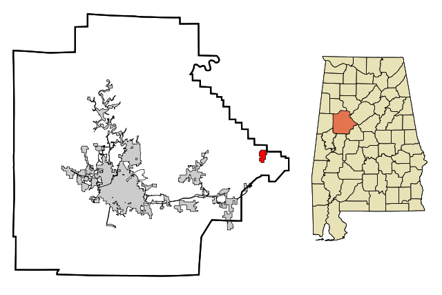
This map shows the incorporated and unincorporated areas in Tuscaloosa County, highlighting Lake View in red. It was created with a custom script with US Census Bureau data and modified with Inkscape by User:Arkyan on Wikipedia.
| Image License | |
| This image is licensed under the terms of Creative Commons Attribution Share-Alike v3.0 | |
File history
Click on a date/time to view the file as it appeared at that time.
| Date/Time | Thumbnail | Dimensions | User | Comment | |
|---|---|---|---|---|---|
| current | 15:07, 12 August 2020 | | 640 × 427 (70 KB) | Dystopos (talk | contribs) | This map shows the incorporated and unincorporated areas in Tuscaloosa County, highlighting Lake View in red. It was created with a custom script with US Census Bureau data and modified with Inkscape by [http://en.wikipedia.org/wiki/User:Arkyan... |
You cannot overwrite this file.
File usage
The following page uses this file: